What Is Driving the Massive West Coast Storm System?
A relentless parade of Pacific storm systems fueled by an intense atmospheric river is slamming the U.S. West Coast this weekend, delivering the season's first widespread round of heavy precipitation, dangerous hurricane-force wind gusts, and historic high-elevation snowpack.
The National Weather Service (NWS) has issued a sprawling network of Winter Storm Warnings, High Wind Advisories, and Coastal Flood Alerts stretching from the Olympic Peninsula in Washington down through Northern California and into the Sierra Nevada.
Meteorologists warn that back-to-back low-pressure systems are drawing massive plumes of subtropical moisture directly into coastal mountain ranges, setting off hazardous travel conditions across state lines.
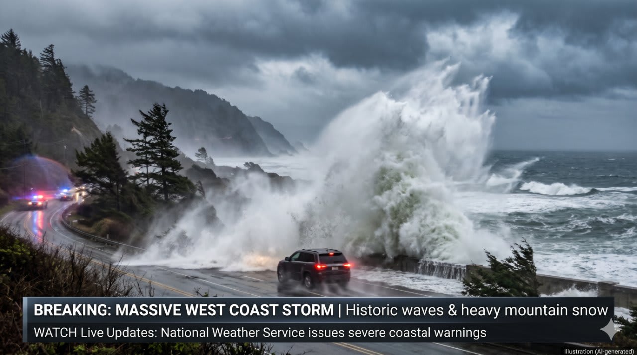
- Wave Heights: 20 to 30 feet nearshore along Northern California and Oregon, with peak sets reaching up to 45 feet.
- Snow Totals: 1 to 2 feet across higher elevations in the Sierra Nevada, including Lake Tahoe and Mammoth Mountain.
- Wind Gusts: 45 to 65 mph along coastal headlands and high-altitude mountain passes.
- Rainfall: 3 to 6 inches across southwest Oregon and coastal Northern California.
How Are Coastal Communities and Beaches Reacting?
The most immediate danger has emerged along the Pacific shoreline, where deep-ocean swells have generated towering, destructive breakers. Regional park authorities and local sheriff offices have taken the unusual step of closing beach parking lots, coastal walkways, and piers to protect onlookers from rogue waves.
In Northern California, officials issued a stern advisory to storm watchers: "The beach is not your friend this weekend."
Crowds attempting to photograph massive swells along rocky jetties have faced sudden rip currents and high-energy surge waves capable of washing over sea walls. Maritime authorities have strongly urged commercial and recreational boaters to remain in port until sea conditions subside early next week.
Will Mountain Passes and Ski Resorts See Disruptions?
Inland, the storm is transforming the Sierra Nevada and Cascade ranges into a winter battleground. Snow levels have plummeted, forcing the California Department of Transportation (Caltrans) to enforce mandatory tire chain controls on major transit arteries, including Interstate 80 over Donner Summit and Highway 50.
While the storm has created treacherous conditions for highway motorists, regional ski resorts are celebrating the early-season dump. Several Lake Tahoe resorts that were operating with limited artificial snow have announced early openings for upper-mountain terrain, providing a massive boost to local winter tourism economies.
However, transportation officials warn casual drivers to delay non-essential mountain travel until plows can clear whiteout conditions across high passes.
What Should Residents Expect in the Coming Days?
Urban areas across the San Francisco Bay Area and Pacific Northwest face persistent risks of localized street flooding and downed tree limbs from water-saturated soil.
With another reinforcing cold front already spinning behind the current system, meteorologists predict active storm patterns will persist through the middle of the upcoming week before drier high pressure takes hold.
Safety Advisory: Stay tuned to local National Weather Service radio broadcasts, avoid driving through waterlogged roadways, and check real-time state highway department road condition feeds before attempting any mountain crossings.